
Understanding Our Biodiversity Monitoring Methods
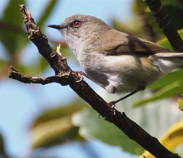
Five-Minute Bird Counts — Forest Bird Communities
Forest birds are widely used as indicators of ecosystem condition and can respond positively to sustained predator suppression and habitat recovery.
The project uses the nationally established Five-Minute Bird Count (5MBC) method. The monitoring network currently contains 57 permanent count stations across the Scenic Reserve and surrounding private land — 30 within the reserve and 27 on private land. Monitoring has been undertaken annually in the reserve since 2022 and was expanded across the wider project area in 2025.
Counts are undertaken during the spring breeding season, generally between mid-October and mid-November and during favourable morning weather. At each station an experienced observer records every bird seen or heard during a five-minute period. Repeating the same methods, locations and survey timing allows changes in relative abundance and distribution to be assessed through time.
Bird populations can be naturally variable, and ecological responses to restoration may take many years to become statistically clear. Research suggests that five to ten years or more of consistent monitoring may be required before strong population trends become detectable. For this reason, the value of the programme grows with every additional year of data.
Terrestrial Invertebrate Pitfall Monitoring
Terrestrial invertebrates are a fundamental part of the forest ecosystem. They act as decomposers, herbivores, pollinators and predators, while also providing food for native birds and reptiles. Many larger-bodied native invertebrates are particularly vulnerable to predation by rats, mice, hedgehogs, mustelids and cats.
The Hikaroroa programme uses pitfall trapping to monitor changes in the forest-floor invertebrate community. The monitoring design was developed with technical input from the Department of Conservation and statistical power analysis undertaken by Reproducible Ltd. Modelling identified larger-bodied terrestrial invertebrates as a potentially useful indicator of ecological response to predator suppression.
Ten pitfall monitoring transects are distributed across the project area and are integrated with the pest-monitoring network so that changes in invertebrate communities can eventually be compared with changes in predator abundance.
Pitfall monitoring began in 2023. The baseline survey recorded 2,531 individual invertebrates representing a diverse forest-floor community including beetles, spiders, harvestmen, wētā, millipedes, amphipods, flies and Lepidoptera larvae.
Because invertebrate populations may respond more quickly than forest bird communities, this programme has the potential to provide an important early indicator of ecological recovery as the long-term dataset develops.
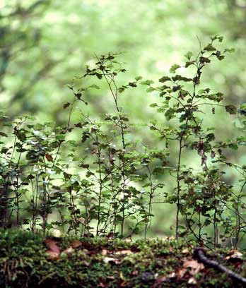
Seedling Ratio Index — Forest Regeneration
The third major biodiversity indicator is the ability of the native forest to replace itself.
Introduced deer, goats and pigs can profoundly alter forest structure. Deer and goats selectively browse palatable seedlings and saplings, while pigs disturb the forest floor and can prevent seedlings from establishing. A forest may therefore retain a mature canopy for decades while quietly losing the next generation of trees underneath it.
We monitor this process using the Seedling Ratio Index (SRI), following the Department of Conservation Wild Animal Management field protocols.
The network currently contains 19 SRI transects — ten within the Scenic Reserve and nine on surrounding private land. Each transect is 400 metres long and contains 20 monitoring plots spaced at 20 metre intervals.
Within each plot we compare the presence of short seedlings below 30 cm with taller seedlings between 30 cm and 2 metres. Species are analysed according to their palatability to browsing ungulates. Browse levels, deer and goat pellets, and evidence of pig rooting are also recorded.
The result is much more informative than simply asking whether seedlings are present. It helps determine whether palatable species are surviving long enough to grow beyond the smallest seedling stage and eventually replace the mature forest canopy.
Following the adaptive framework established in the Vertebrate Pest Management Strategy, SRI monitoring is repeated approximately every two years while ungulate management is being intensified. Once positive regeneration of palatable species is consistently achieved, monitoring can become less frequent and the level of control associated with that recovery can become the project's long-term management target.
Community Biodiversity Observations
Structured surveys are essential for measuring long-term trends, but some of our most important discoveries come from people simply spending time in the landscape.
Field staff, volunteers, landowners and project partners are encouraged to record biodiversity observations encountered during trapping, monitoring, farming and other project activities. These records cannot replace standardised surveys, but they can reveal species distributions, breeding sites and ecological values that formal monitoring may miss.
Kererū observations are now recorded alongside volunteer and field-team effort. Because kererū are large, distinctive and easily recognised, these observations have the potential to build a simple community-based index of sightings through time and may aid in understanding safe levels of cultural harvest.
Other observations help us locate kārearea nesting territories, document uncommon plants and wildlife, and identify previously unrecorded species. Recent observations and targeted searches have, for example, confirmed new lizard species in the project area.
These discoveries help shape what comes next. As our knowledge, volunteer skills and resources grow, we hope to expand more specialised threatened-species monitoring, including kārearea nest monitoring, artificial cover-board surveys for native lizards and targeted monitoring of threatened Lepidoptera.
By combining structured long-term monitoring with observations from the people who know and work in this landscape, we are progressively building a clearer picture of both what lives at Hikaroroa and how those communities respond to conservation management.